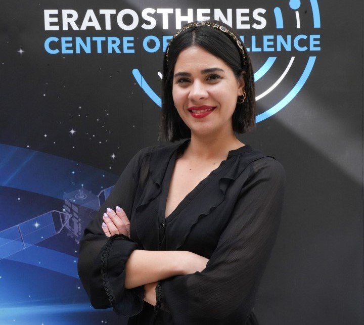
Josephina KOUNTOURI
- Assistant Research
- josefina.kountouri@eratosthenes.org.cy
Josefina Kountouri is a PhD candidate in the field of “flood monitoring using earth observation and GIS techniques” at the Cyprus University of Technology (CUT) under the supervision of Prof. Diofantos Hadjimitsis. She received her BSc degree in Rural and Surveying
Engineering from the Aristotle University of Thessaloniki in 2018. She continued her studies in the Department of architectural engineering in the Interdepartmental Program of Postgraduate Studies “Protection Conservation and Restoration of Cultural Monuments” at Page 37 of 57 CAMS2_72CY_ECoE Aristotle University of Thessaloniki, where she obtained her MSc in Protection, Preservation and Restoration of Architectural Monuments in 2020. Since October 2021, Josefina Kountouri is an Assistant Researcher A at the Department of Civil Engineering and Geomatics, and specifically at the Remote Sensing and Geo-Environment Lab. She participates in different Actions of the Programme FPCUP (Framework Partnership Agreement on Copernicus User Uptake), such as promoting Copernicus services in different areas, such as education and public, and the Geospatial Intelligence for Environment Protection against Illegal Activities. Mrs. Josefina Kountouri was also involved in the Interreg GR-CY BEACHTECH project. Finally, since October 2022, She is an Assistant Researcher A at the ERATOSTHENES Centre of Excellence, working at the Disaster Risk Reduction cluster. Mrs. Josefina Kountouri is a member of the Cyprus Scientific and Technical Chamber (ETEK) and Technical Chamber of Greece (TEE).
